Gorge logistics
Samaria Gorge by bus
The Samaria walk is one-way and downhill, and its logistics are unlike any other Crete bus trip: you arrive at the top by road and leave from the bottom by sea. Agia Roumeli, where the walk ends, has no road connection, so getting back to a bus corridor starts with a separate boat leg published independently of the bus operators. Plan the whole chain before you walk down.
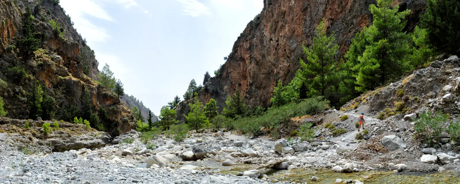
The whole day at a glance
Bus → hike → ferry → bus
Focus or select a leg to examine its sourced details. Without JavaScript, every leg remains visible below the diagram.
Leg 1 · road
Chania → Omalos / Xyloskalo
Use the current KTEL publication to reach the gorge’s upper entrance.
- KTEL Chania–Rethymno publishes the Chania–Omalos / Samaria Gorge corridor; use its current edition for the inbound departure.
- NECCA announced that the full park opened from both entrances on 19 May 2026, but access can still be suspended when conditions require it.
- Check the current park notice and weather conditions before choosing a bus.
- Bus and park tickets are separate purchases.
Leg 2 · trail
Xyloskalo → Agia Roumeli
Walk the one-way gorge to the roadless south-coast village.
- Agia Roumeli has no road connection, so the walk cannot end with a bus pickup.
- Use the official park ticket portal for the entry-ticket requirement and purchase.
- Use current NECCA notices for access updates and conditions before walking.
Leg 3 · sea
Agia Roumeli → Chora Sfakion or Sougia
Leave the roadless coast on the ANENDYK ferry.
- ANENDYK publishes dated south-coast route tables from Agia Roumeli towards road-connected ports.
- Choose a table that covers your date and read its direction and footnotes.
- Confirm the sailing on anendyk.gr because routes and connections vary by edition.
Leg 4 · road
South-coast port → Chania
Meet the KTEL return after the ferry reaches the road network.
- KTEL publishes return corridors from south-coast ports; use the current edition for the port you choose.
- The ferry and bus remain separately published legs, so confirm both before setting out.
Road, trail and sea
Why this is not a return bus trip
The markers show the chain from Chania to the trailhead, roadless Agia Roumeli, and the two ferry exit ports.
Map loads as it enters view.
An organised alternative
A verified guided Samaria option
The organised product handles the road transfer and return chain. Read the independent logistics above before deciding which approach suits you.
Marked GetYourGuide links are affiliate links. If you book after following one, this independent guide may earn a commission at no extra cost to you.
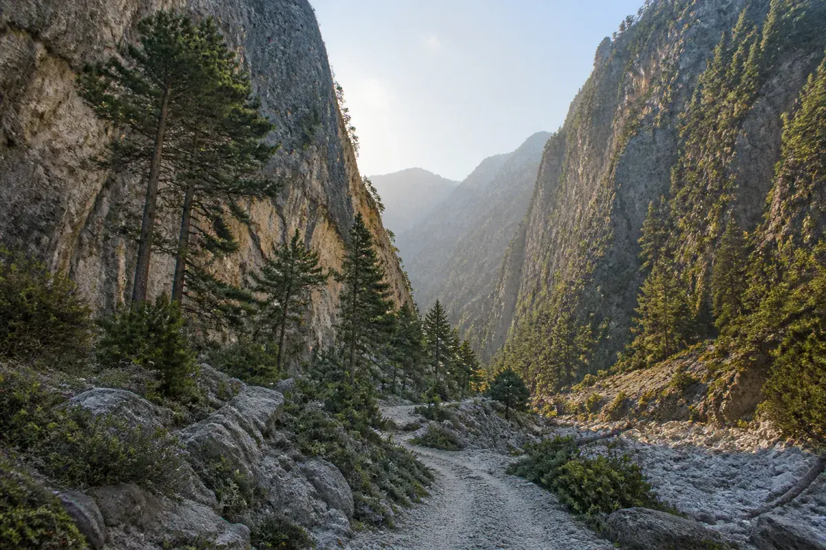 Hiking and nature Editor’s pick
 Samaria Gorge guided trek from Chania
Samaria Gorge, west Crete
A guided one-way walk through the gorge, with the operator handling the road transfer up and the return chain back to Chania.
Getting there: Doing this independently means a bus to Omalos, a walk down, and a separate boat leg out of roadless Agia Roumeli before you rejoin a KTEL Chania–Rethymno corridor. Read the Samaria guide first, then decide whether an organised trip suits you better.
Check availability on GetYourGuide Photo: AI-generated illustrationRead at your pace
The details, one decision at a time
Open the part you need and keep the operator source beside it.
The bus to the Omalos trailhead
Inbound
The walk starts at Omalos in the White Mountains above Chania. KTEL Chania–Rethymno lists Chania–Omalos (Samaria Gorge) among its published destinations, so the inbound leg is an ordinary intercity corridor to check with that company.
- Open KTEL Chania–Rethymno for the current Chania–Omalos publication.
- NECCA announced full opening from both entrances on 19 May 2026, but conditions can still cause a suspension.
- Check the current park notice and weather before committing to the walk.
Official links for this step
Sources: KTEL Chania–Rethymno S.A.Official routes, timetables and fares for west CreteNatural Environment & Climate Change AgencyOfficial Samaria National Park ticket portalSamaria National Park 2026 opening notice
The exit village has no road
Exit
The walk ends at Agia Roumeli on the south coast, which no road reaches. ANENDYK and KTEL publish dated sea and road legs separately; select matching current editions before setting out.
- The boat leg is published independently by ANENDYK — confirm the current sailing before committing to the walk.
- Do not assume the boat and the bus form one booking, or that either protects the other.
- Decide which south-coast port you are exiting through before you start walking.
Official links for this step
Sources: ANENDYKOfficial south-coast ferry routesKTEL Chania–Rethymno S.A.Official routes, timetables and fares for west Crete
Plan the return before you walk down
Return
Because the exit is by sea and then by road, the return is a chain of separately published legs. Choose the exit port, then check both current editions for that date before committing to the walk.
- Pick the return corridor, then read the operator’s current seasonal publication for it.
- Leave practical margin between the boat leg and the bus leg — they are unconnected plans.
- A missed last connection here is not recoverable on foot, because the exit village has no road.
Official links for this step
Sources: ANENDYKOfficial south-coast ferry routesKTEL Chania–Rethymno S.A.Official routes, timetables and fares for west Crete
The Crete Bus app
Use Crete Bus on your trip
Choose your device and review the current store listing.
Where next
Three place guides to continue with
Use these source-led pages to orient the local part of a wider journey.
Sources for this guide
Official sources: KTEL Chania–Rethymno S.A.Official routes, timetables and fares for west CreteNatural Environment & Climate Change AgencyOfficial Samaria National Park ticket portalSamaria National Park 2026 opening noticeANENDYKOfficial south-coast ferry routes
. Check the linked operator again before travel.