Heraklion
Readings load in your browser
- Wind
- —
- Gusting
- —
- Temperature
- —
- Visibility
- —
Explore · Crete
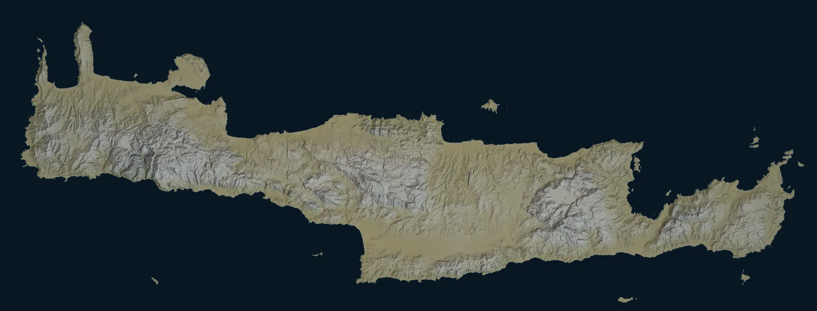
The island from its own elevation data, every place this guide has a page for, and the corridors the KTEL companies and the Heraklion city operator publish to it. Choose a view, pick a kind of place, and open one to plan the day.
Corridors checked against the operators’ publications between 13 August 2026 and 5 October 2026, each page with its own date; terrain rendered 3 October 2026.
Bus corridors on the map
26 places
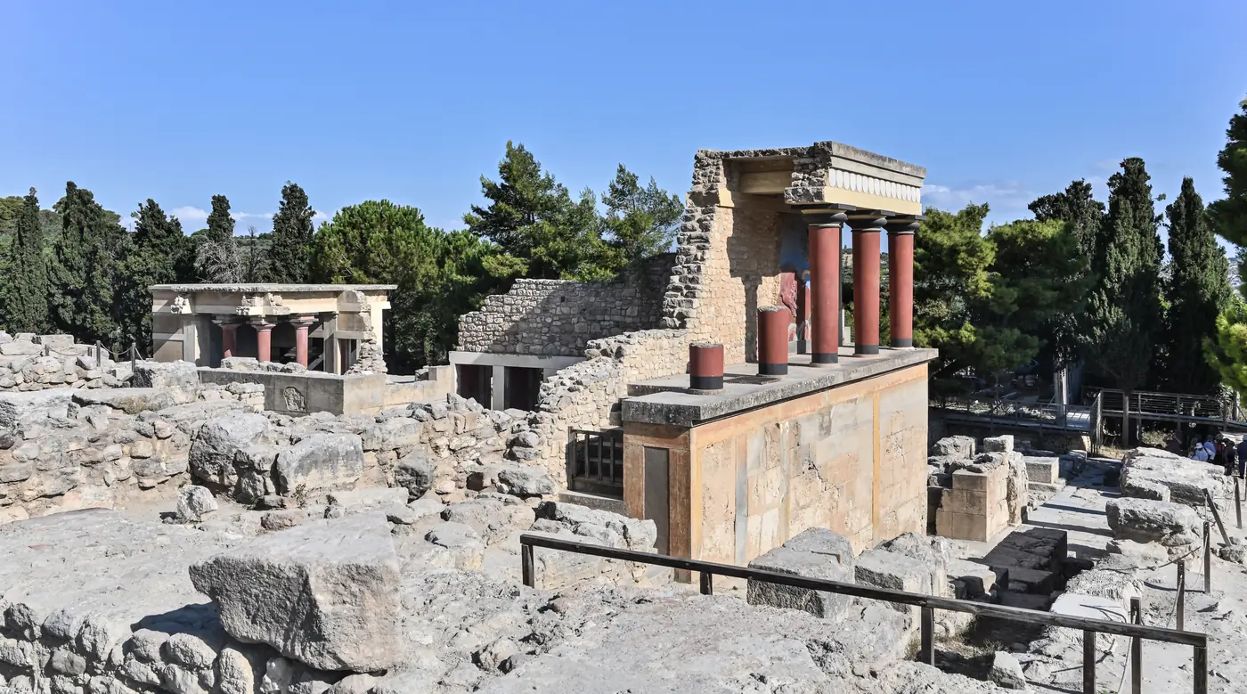
History and archaeology
The Minoan palace site just south of Heraklion’s centre, inside the city bus operator’s area.
Scheduled service
Who publishes a corridor here
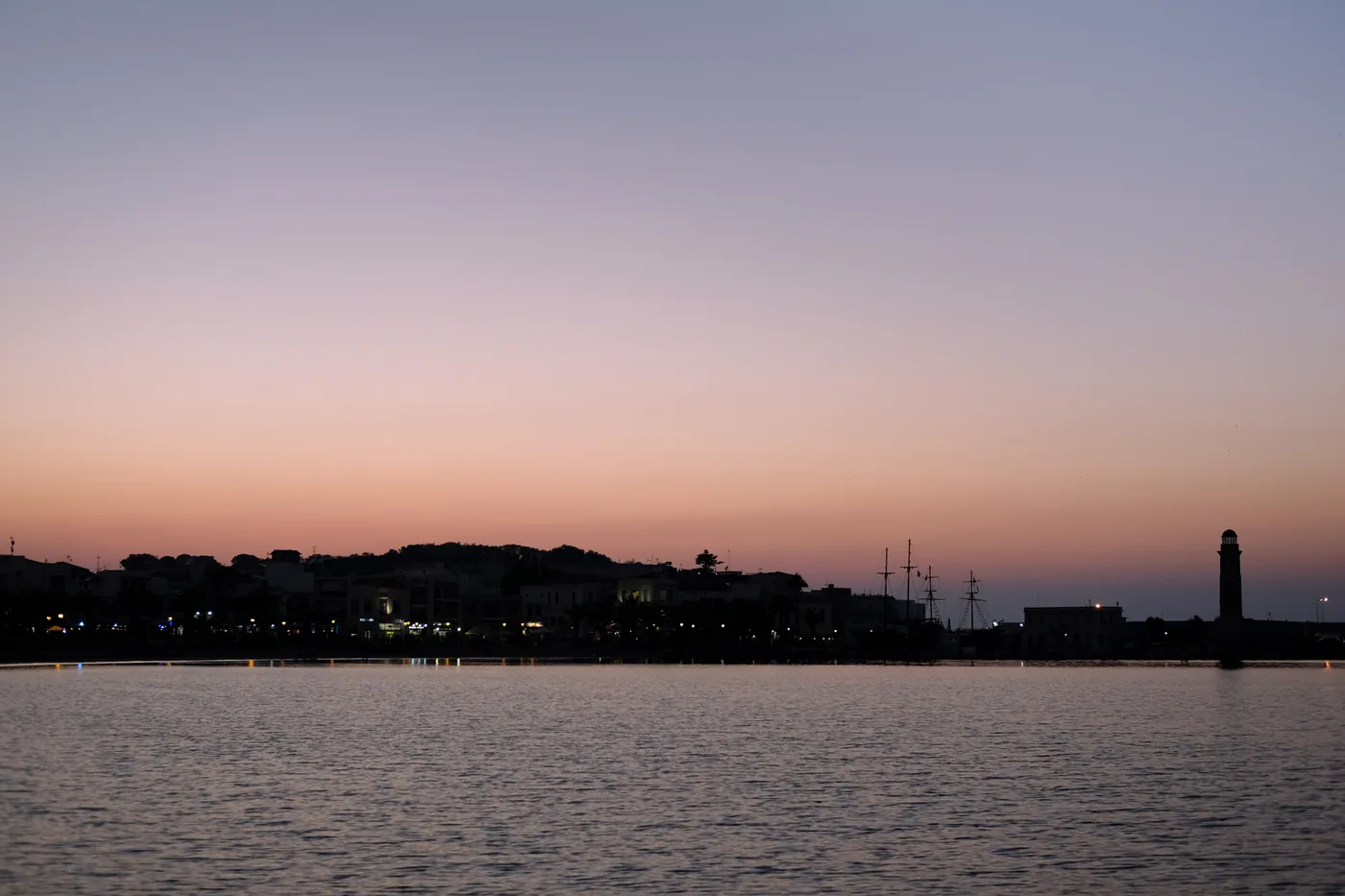
Cities · History and archaeology
The mid-coast city where the two KTEL networks meet, with a Venetian harbour and the Fortezza above the old town.
Scheduled service
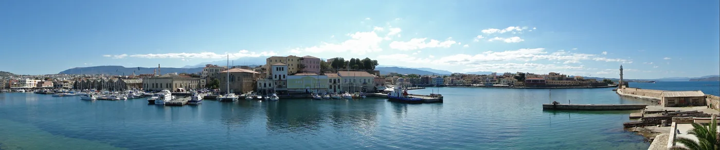
Cities · History and archaeology
The western hub: a walkable Venetian harbour, and the KTEL departures most westward day trips start from.
Scheduled service
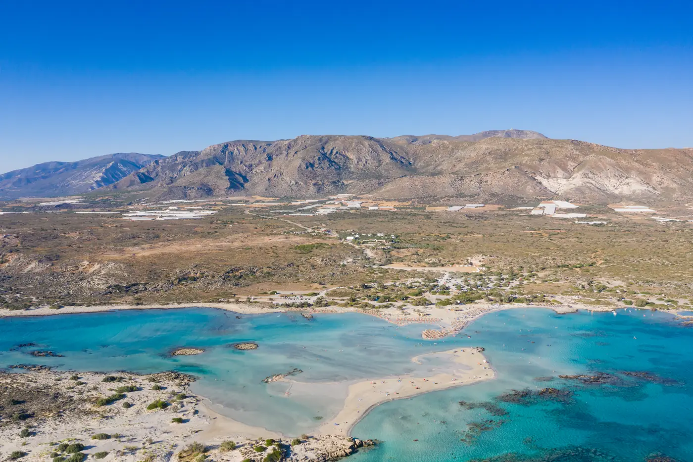
Beaches and lagoons · Gorges and nature
A shallow lagoon at the south-western corner, with a sandbar you can wade across to a protected islet.
Scheduled service
Who publishes a corridor here
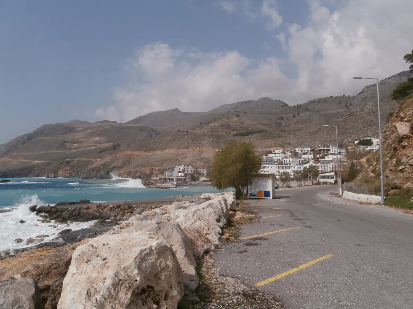
Coast and harbours · Gorges and nature
The small port where the road meets a coast that has none: the way back for Samaria Gorge walkers.
Scheduled service
Who publishes a corridor here
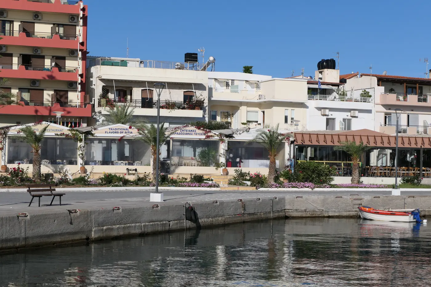
Towns · Coast and harbours
An unhurried port town at the far eastern end of the island, with white houses above a working harbour.
Scheduled service
Who publishes a corridor here
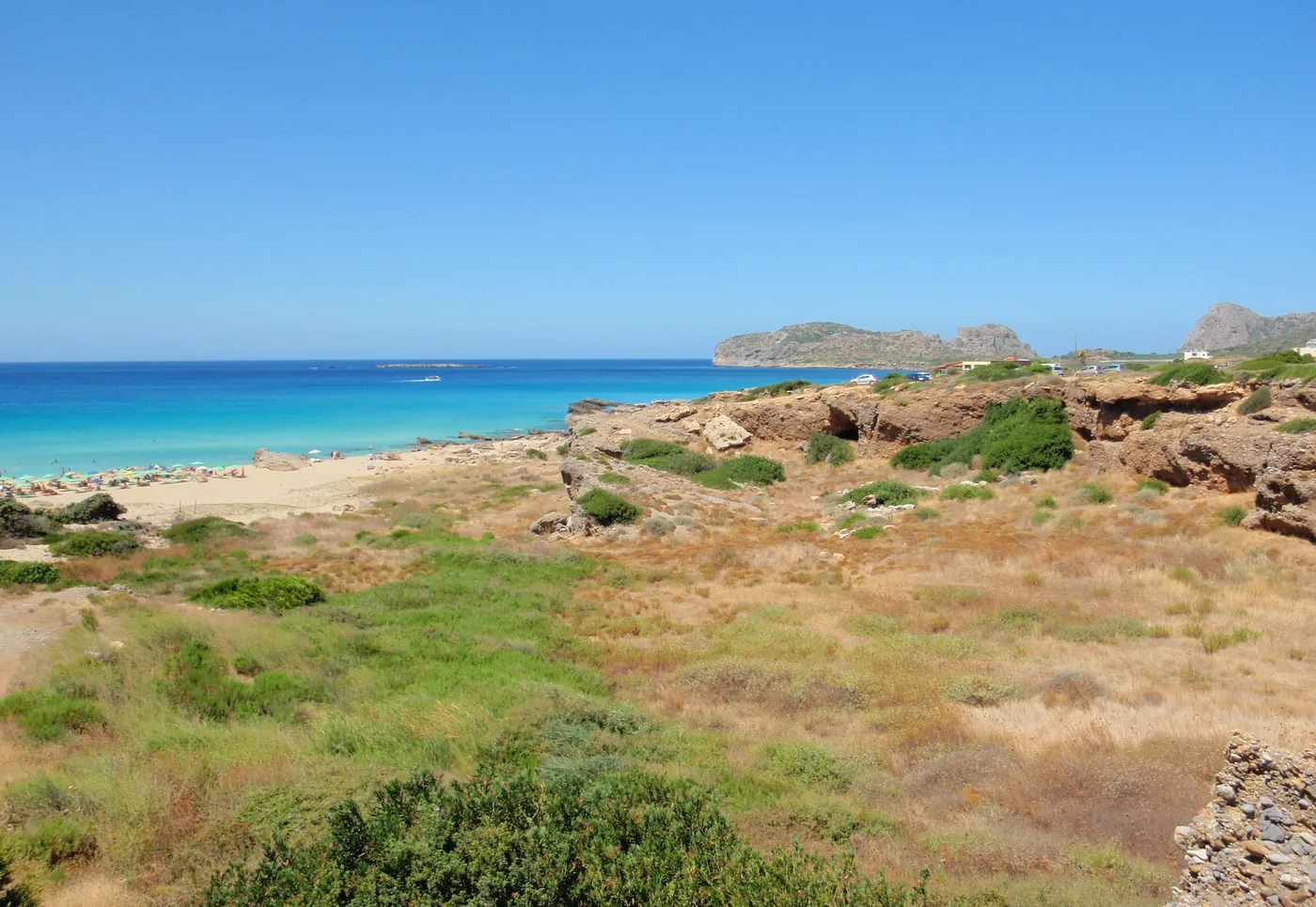
Beaches and lagoons
A west-coast beach with its own published corridor from Chania; every journey changes at Kasteli.
Conditions apply
Who publishes a corridor here
Beaches and lagoons · Gorges and nature
A lagoon beyond Kissamos Port, reached by a separate boat or road leg once the bus corridor ends.
No verified bus
Nearest place a published corridor reaches: Kissamos Port, on the Chania corridor
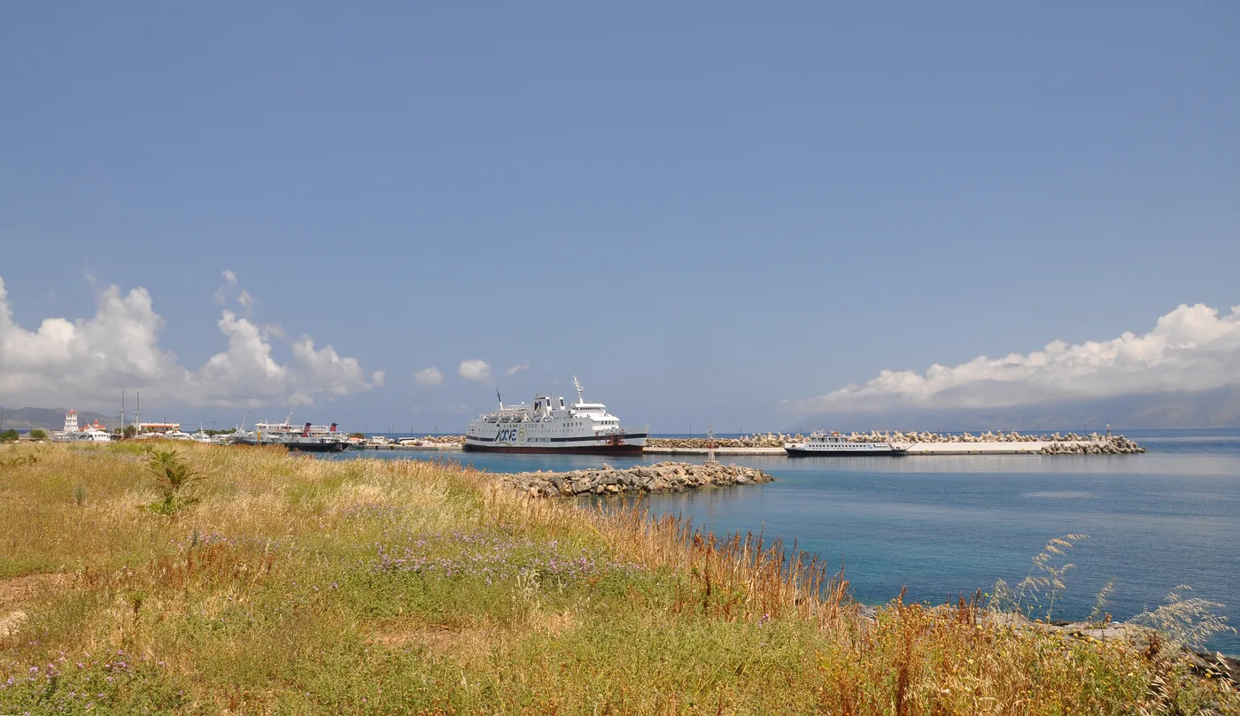
Towns · Coast and harbours
A north-west coast town the timetables call Kasteli, with its own port and rows on to Falassarna and Elafonisi.
Scheduled service
Who publishes a corridor here
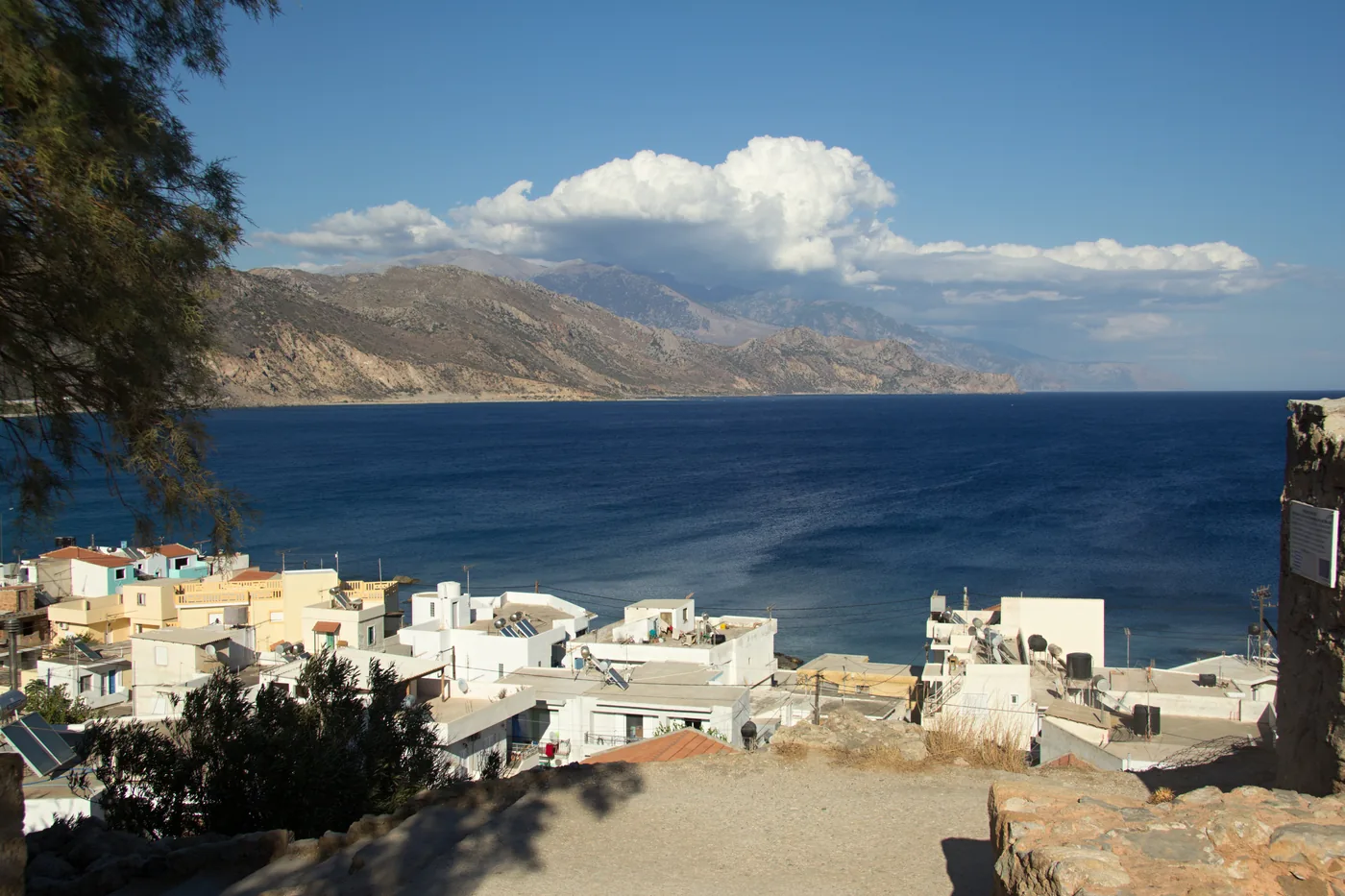
Towns · Beaches and lagoons
A south-west coast town with its own rows from Chania and local buses along the coast to Kountoura.
Scheduled service
Who publishes a corridor here
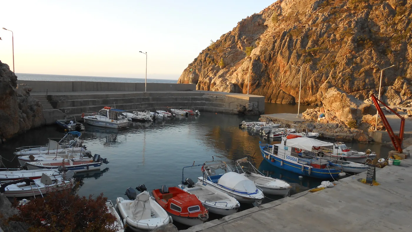
Coast and harbours · Gorges and nature
A small south-coast harbour at the end of the Chania–Omalos–Sougia row, where the Agia Irini gorge walk ends.
Scheduled service
Who publishes a corridor here
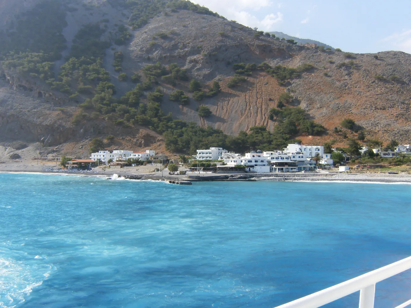
Gorges and nature · Coast and harbours
The roadless village where the Samaria Gorge walk ends, with ANENDYK boats east and west.
No bus; ferry only
Who publishes a corridor here
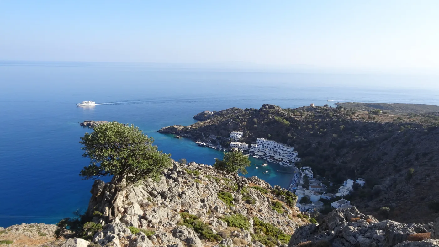
Coast and harbours · Gorges and nature
A village with no road between Chora Sfakion and Agia Roumeli, reached by the ANENDYK boats.
No bus; ferry only
Who publishes a corridor here
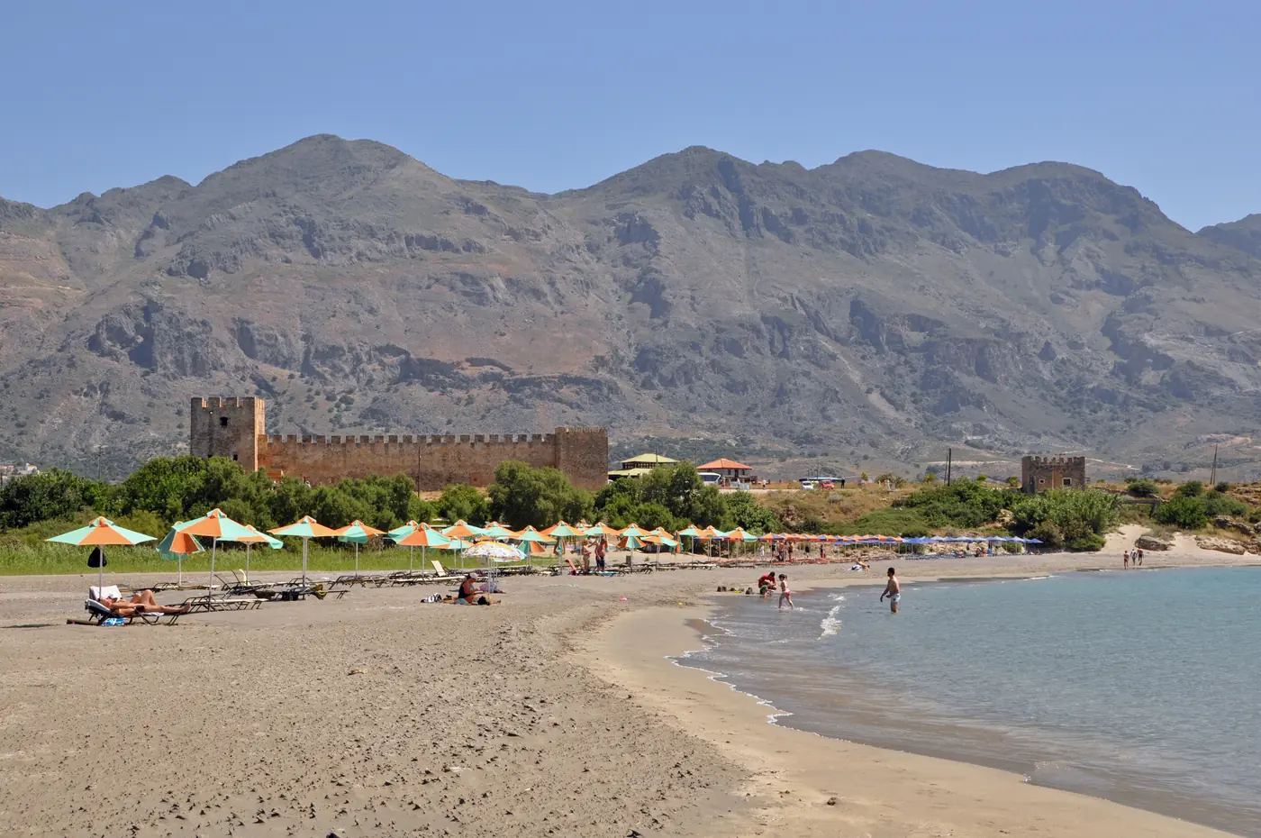
History and archaeology · Beaches and lagoons
A 14th-century Venetian castle on the shore, reached by local rows from Chora Sfakion.
Scheduled service
Who publishes a corridor here
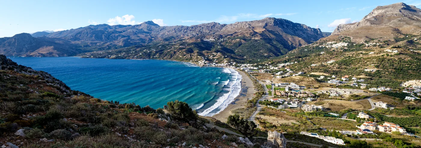
Beaches and lagoons · Towns
A south-coast bay with its own direct bus from Rethymno, and a published corridor on to Preveli.
Scheduled service
Who publishes a corridor here
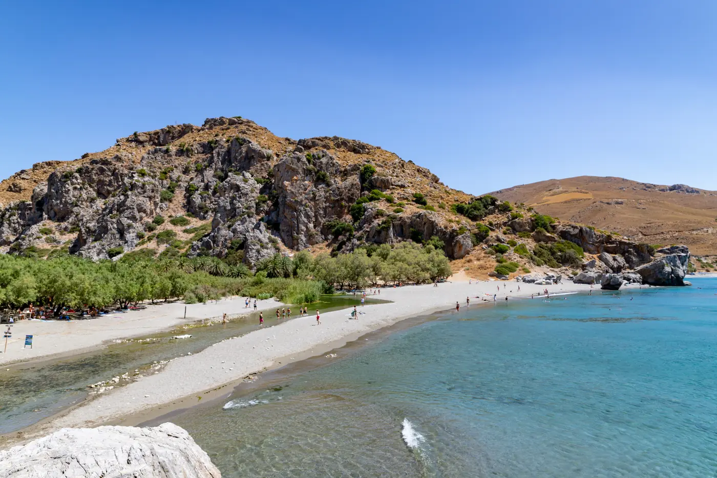
Beaches and lagoons · Gorges and nature
A palm-lined river mouth and beach on the south coast, with its own published corridor from Rethymno.
Scheduled service
Who publishes a corridor here
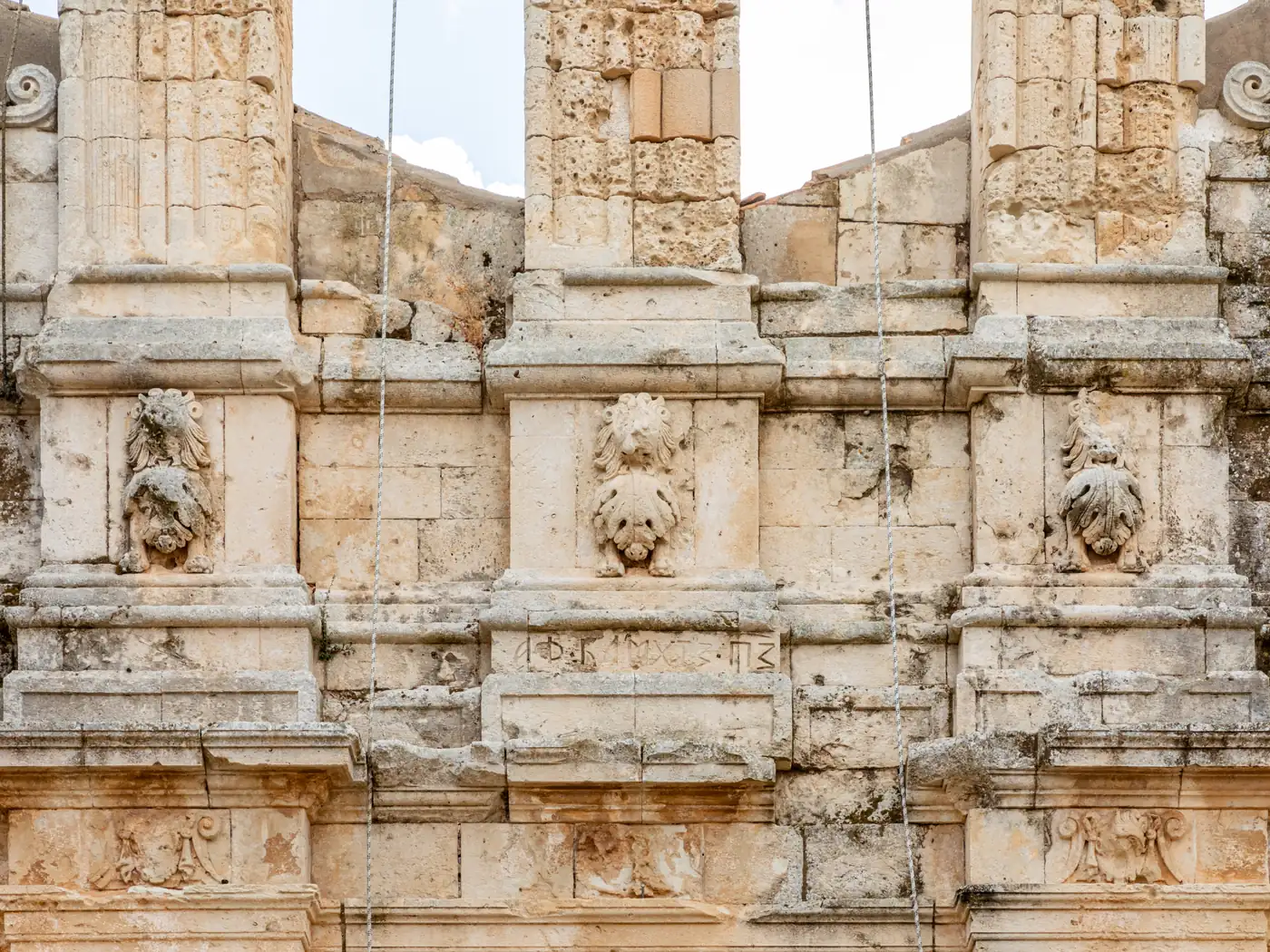
History and archaeology
A monastery 25 km from Rethymno at the foot of Psiloritis, with daily rows from Rethymno.
Scheduled service
Who publishes a corridor here
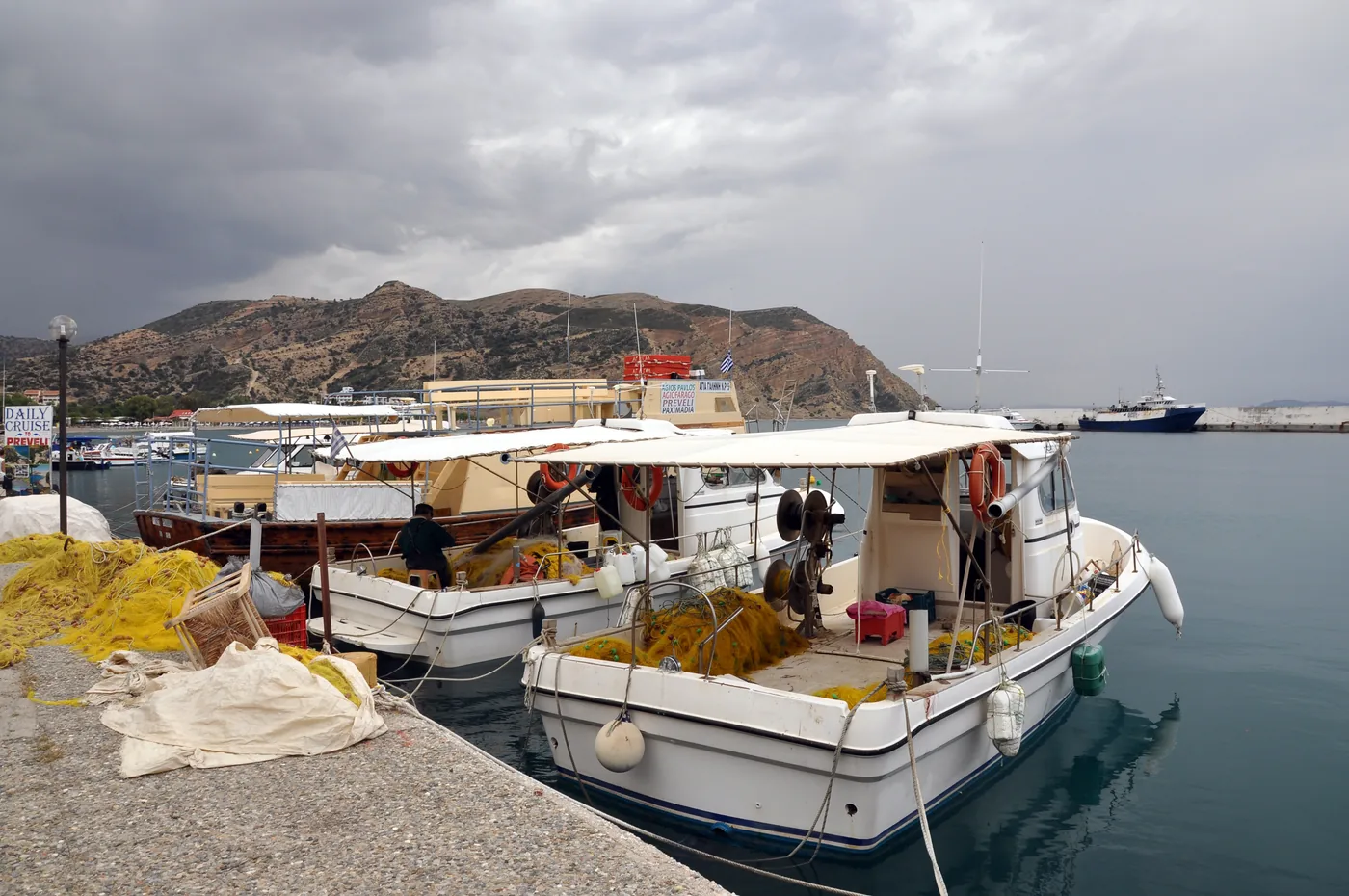
Beaches and lagoons · Towns
A south-coast resort 58 km south of Rethymno, with rows from both Heraklion and Rethymno.
Scheduled service
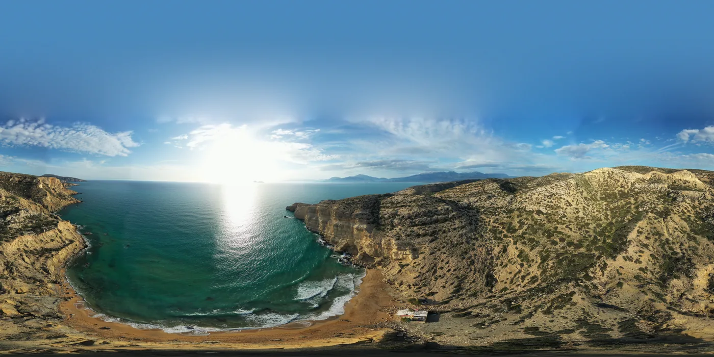
Beaches and lagoons · History and archaeology
A small south-coast bay with rock-cut chambers in the headland and Red Beach over the ridge.
Scheduled service
Who publishes a corridor here
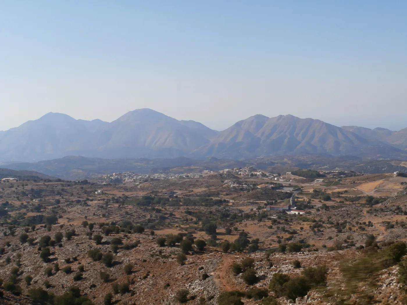
Towns · Gorges and nature
A village on the slopes of Psiloritis, with rows from Heraklion and Rethymno and none on Sunday.
Conditions apply
Cities · History and archaeology
The island capital, where the city buses and the KTEL coaches east and south are separate systems with separate tickets.
Scheduled service
Beaches and lagoons · Towns
A resort town on the coast east of Heraklion, with quieter hill villages a short climb above it.
Scheduled service
Who publishes a corridor here
Beaches and lagoons · History and archaeology
A beach strip, and on the plain east of town a Minoan palace site, quieter than Knossos.
Scheduled service
Who publishes a corridor here
Towns · Coast and harbours
Eastern Crete’s hub town, with Lake Voulismeni a few minutes from the waterfront and a bus station of its own.
Scheduled service
Who publishes a corridor here
Coast and harbours · History and archaeology
The mainland side of the crossing to Spinalonga, on the sheltered water of Mirabello Bay.
Scheduled service
Who publishes a corridor here
Beaches and lagoons · Gorges and nature
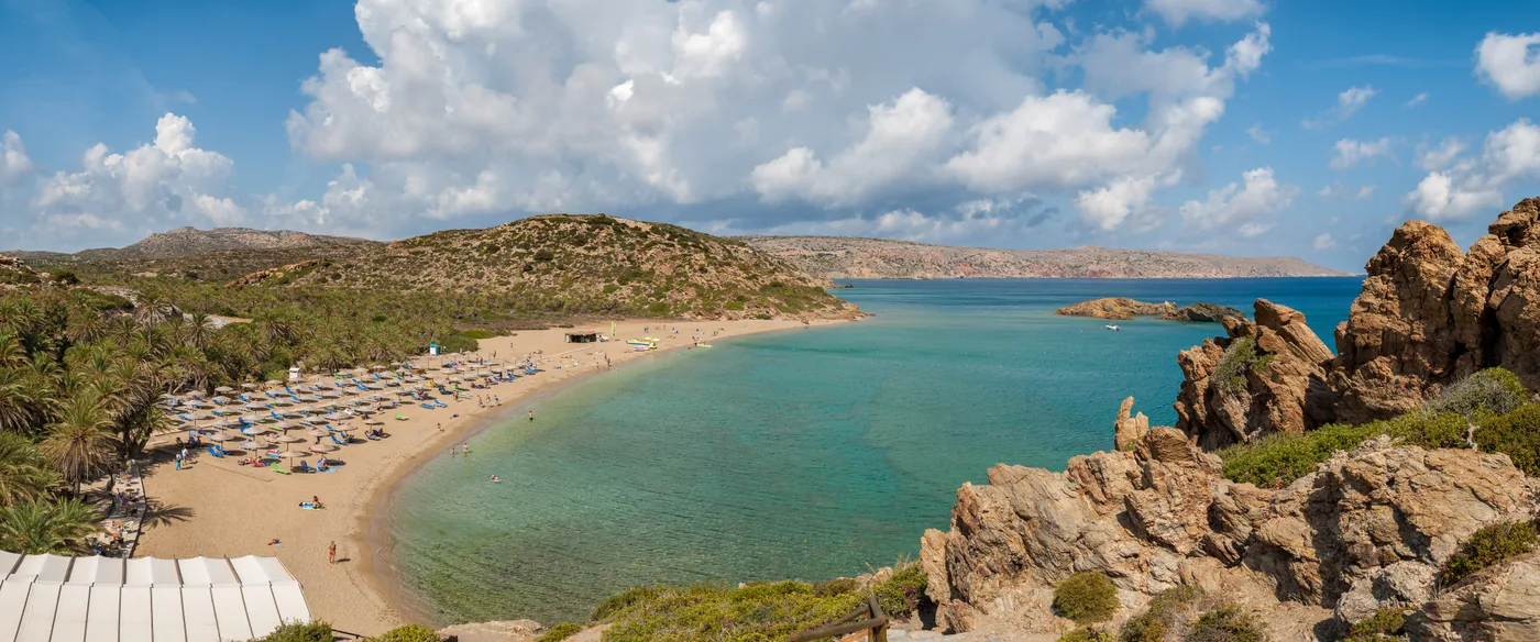
A palm grove running down to a beach at the island’s far eastern end, beyond Sitia.
No verified bus
Nearest place a published corridor reaches: Sitia
The island at a glance
2
KTEL companies split the island
KTEL Heraklio–Lasithi publishes the east and south; KTEL Chania–Rethymno publishes the west.
Source: KTEL Heraklio–Lasithi S.A.Official routes, timetables and fares for east and south CreteKTEL Chania–Rethymno S.A.Official routes, timetables and fares for west Crete
30
Bus links drawn on the map
Each joins two places a published corridor names in turn. 6 are dotted: every corridor over that stretch is one whose page says access can be suspended, marks a change, lets the day decide the departures, or points to the city operator’s own itinerary.
Source: KTEL Heraklio–Lasithi S.A.Official routes, timetables and fares for east and south CreteKTEL Chania–Rethymno S.A.Official routes, timetables and fares for west CreteHeraklion Urban BusesOfficial urban itineraries, tickets and telematics
24 of 26
Destinations with a published corridor
Balos and Vai Palm Beach: no bus corridor this guide could verify; their pages say what to do instead. Loutro and Agia Roumeli: no road; the ANENDYK ferry is the published way in.
Source: KTEL Heraklio–Lasithi S.A.Official routes, timetables and fares for east and south CreteKTEL Chania–Rethymno S.A.Official routes, timetables and fares for west Crete
2,448 m
Highest ground in the elevation model
The highest point of the island map's relief, resampled from Copernicus DEM GLO-30 when it was rendered on 3 October 2026.
Source: Copernicus (European Union and ESA)Copernicus DEM GLO-30 on the Registry of Open Data on AWS
Conditions
Current readings in Heraklion and Chania, at Omalos above the Samaria Gorge and in Sitia at the far east. On the gorge and the boat legs, the weather is part of the plan.
Readings load in your browser
Readings load in your browser
Readings load in your browser
Readings load in your browser
Live readings are unavailable right now. The guidance below does not depend on them.
These are measured weather readings, not a service status. We do not infer from a reading whether a bus, a ferry or the gorge is running; the operators’ and the park’s own notices are the source for that.